 |
Digital
|
A Digital Elevation Model (DEM) is digital cartographic/geographic data in raster form. The terrain elevations for ground positions are sampled at regularly spaced horizontal intervals. DEMs are derived from hypsographic data (contour lines) and/or photogrammetric methods using USGS 7.5-minute, 15-minute, 2-arc-second (30- by 60-minute), and 1-degree (1:250,000-scale) topographic quadrangle maps.
Click here to learn more about DEMs.
![]()
DEM Download
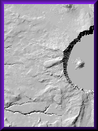
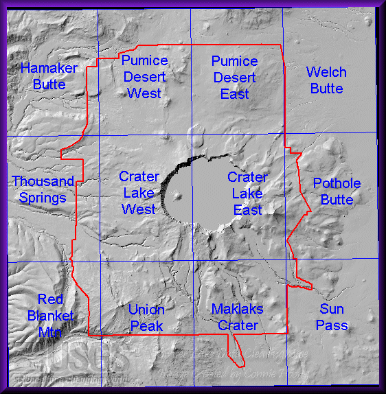
Crater Lake National Park covers twelve 7.5-minute quadrangle maps. These 12 DEM quads have been mosaicked together. The mosaicked files are more convenient for looking at areas throughout the basin or areas on the edge of two quadrangles.
DEMs are in UTM NAD27 zone 10 projection.
|
Click on the following items to download:
|