 |
Fly-by Movie |
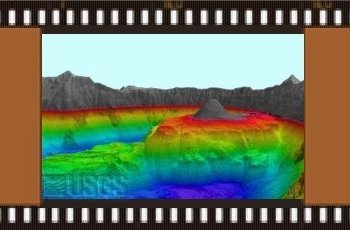
Experience the flight through the lake floor of Crater Lake. This 1 minute flight takes us through the ridges and valleys of the shaded-relief bathymetry and surrounding mountains of Crater Lake. The flight approaches from the south, flies around the lake floor in a clockwise direction, passing over Wizard Island, Merriam Cone, the deep East Basin, central platform, and rhyodacite dome.
 |
Warning: |
Click here to download the Crater Lake fly-by movie:
4 MB Crater Lake fly-by movie.
Approximate time to download:
13 minutes on a 56.8 k modem.
50 minutes on a 14.4 k modem.
22 MB Crater Lake fly-by movie.
Approximate time to download:
1 hour on a 56.8 k modem.
4.5 hours on a 14.4 k modem.
Note: The 4 MB Crater Lake fly-by movie is a clipped version of the 22 MB Crater Lake fly-by movie.
![]()
This QuickTime movie of the bathymetry at Crater Lake was created by
![]() USGS
Coastal & Marine Geology.
USGS
Coastal & Marine Geology.
Note: Movies are a non-standard part of the internet and so may not load
for all viewers. If you do not have QuickTime, click here to download
the ![]() QuickTime Player.
QuickTime Player.