 |
Digital
|
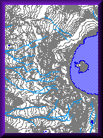
A Digital Line Graph (DLG) is digital vector data representing cartographic information. DLGs contain a wide variety of information depicting geographic features (for example, hypsography, hydrography, boundaries, roads, utility lines, etc). DLGs are derived from hypsographic data (contour lines) using USGS 7.5-minute, 15-minute, 2-arc-second (30- by 60-minute), and 1:2 million-scale topographic quadrangle maps.
Click here to learn more about DLGs.
![]()
DLG Download
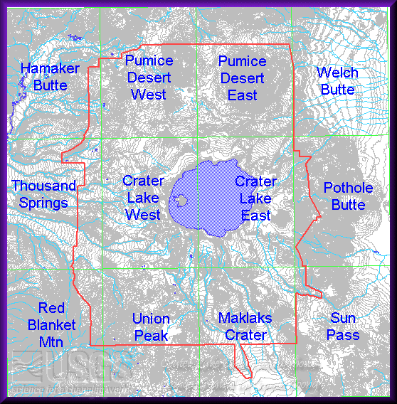
Crater Lake National Park covers twelve 7.5-minute quadrangle maps. These 12 DLG quads have been mosaicked together. The mosaicked files are more convenient for looking at areas throughout the basin or areas on the edge of two quadrangles.
DLGs are in UTM NAD27 zone 10 projection.
|
Some of the DLGs available are being combined into data layers. Each of the following is available in shapefile for Arcview. Click on the following items to download: |