 |
Digital
|
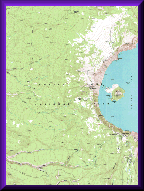
A Digital Raster Graphic (DRG) is a digital image (scanned version) of the USGS topographic map. DRGs are produced from USGS 1:24,000-, 1:24,000/1:25,000-, 1:63,360- (Alaska), 1:100,000-, and 1:250,000-scale topographic map series. The image inside the map neatline is georeferenced to the surface of the Earth and fit to the Universal Transverse Mercator (UTM) projection. The horizontal positional accuracy and datum of the DRG matches the accuracy and datum of the source map.
Click here to learn more about DRGs.
![]()
DRG Download
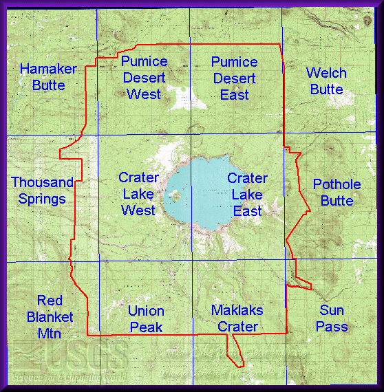
Crater Lake National Park covers twelve 7.5-minute quadrangle maps. These 12 DRG quads have been mosaicked together. The mosaicked files are more convenient for looking at areas throughout the basin or areas on the edge of two quadrangles.
|
DEMs are in UTM NAD27 zone 10 projection. Click on the following items to download:
|