GIS Data Downloads
The following downloadable data are available through the contributions of partnering agencies. The majority of the data and information, located in databases maintained by the partnering agencies, is accessible from this clearinghouse via hypertext links.
The USGS provides two free downloadable software tools (Dem3d and Dlgv32 viewers) for viewing digital data. For more information and downloads of the viewers, please visit the Dem3d Viewer and Dlgv32 Viewer pages.
- Click on the topic title to go to that web page.
- Click on Download to download data.
- Click on Metadata for information about the data.
|
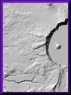
DEMShaded Relief map |
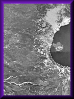
DOQUniform Aerial photos |
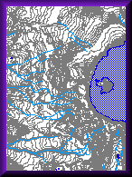
DLGSpatial data in Vector format |
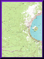
DRGScanned version of topographic map |
|
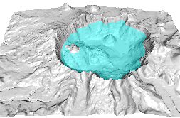
BathymetryRelief map and data of the lake floor of Crater Lake. Metadata -- Currently Not Available |
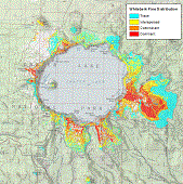
Whitebark Pine DistributionWhitebark Pine Distribution in Crater Lake National Park from Oregon Biodiversity Information Center |
||
![]()
More Information
![]() EarthExplorer
-- to query and order satellite images, aerial photographs, and cartographic
products through the USGS.
EarthExplorer
-- to query and order satellite images, aerial photographs, and cartographic
products through the USGS.
![]() Status
graphics and product description of USGS geospatial data.
Status
graphics and product description of USGS geospatial data.
